
Lake Ozark, MO boundary lines
Download Lake Ozark city, Missouri (Camden County, Miller County) boundary line data in CSV format. For example Lake Ozark city boundary line data can be used to draw border line on Google map or polyline on equirectangular map image. Read more
Lake Ozark city boundaries on map
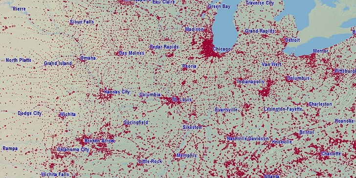
Boundary lines on US map are drawn using data from our site, They are too small for this zoom level, but you can re-use them in any resolution. Google map is zoomable. You can click on flag to hide it.
[Google map] • [Position on US map]

Latitude, longitude: 38.201, -92.63. Land area: 7.247 sq.mi., water area: 0.719 sq.mi. Population: 1,676.
Sources, notes:
Data sources: census.gov ZIP 1MB (latitude, longitude, area).
Population 2014. Retrieved 07/04/2016.
Boundary data: Since 10/04/2016 all existing city boundary files are replaced! Old version was extract from openstreetmap.org (only largest cities). New: Census.gov, number of lines are reduced using Ramer–Douglas–Peucker algorithm. Retrieved 10/04/2016.
(Longitude angle: 0.0853)
Search
Do you like boundaries.us?
Download boundary data
Download Lake Ozark city boundaries in CSV format.
File info: 236 lines, 3 polylines, size: 4,662 bytes