
Lake Ka-Ho, IL boundary lines
Download Lake Ka-Ho village, Illinois (Macoupin County) boundary line data in CSV format. For example Lake Ka-Ho village boundary line data can be used to draw border line on Google map or polyline on equirectangular map image. Read more
Lake Ka-Ho village boundaries on map
Boundary lines on US map are drawn using data from our site, They are too small for this zoom level, but you can re-use them in any resolution. Google map is zoomable. You can click on flag to hide it.
[Google map] • [Position on US map]
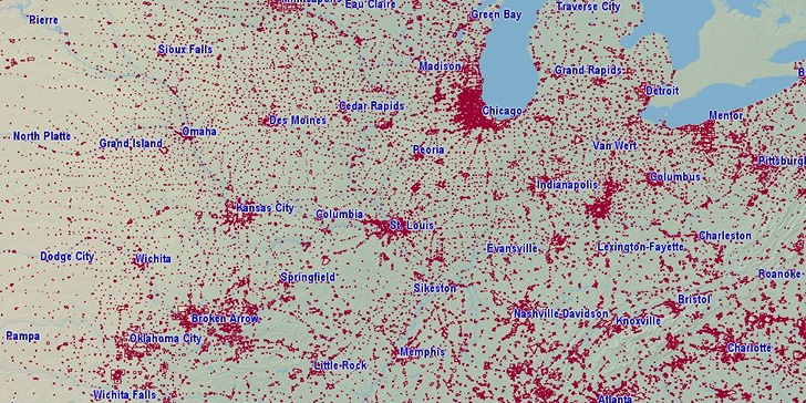

Latitude, longitude: 39.097, -89.746. Land area: 0.284 sq.mi., water area: 0.040 sq.mi. Population: 225.
Sources, notes:
Data sources: census.gov ZIP 1MB (latitude, longitude, area).
Population 2014. Retrieved 07/04/2016.
Boundary data: Since 10/04/2016 all existing city boundary files are replaced! Old version was extract from openstreetmap.org (only largest cities). New: Census.gov, number of lines are reduced using Ramer–Douglas–Peucker algorithm. Retrieved 10/04/2016.
(Longitude angle: 0.012)
Search
Do you like boundaries.us?
Download boundary data
Download Lake Ka-Ho village boundaries in CSV format.
File info: 30 lines, 1 polyline, size: 596 bytes