Assumption Parish, LA boundary lines
Download Assumption Parish, Louisiana boundary line data in CSV format. For example Assumption Parish boundary line data can be used to draw border line on Google map or polyline on equirectangular map image. Read more
Assumption Parish boundaries on map
Note: Boundary lines on US counties map are drawn using data from our site. Click on flag to hide it.
[Google map] • [Counties]
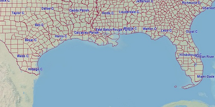

Latitude, longitude: 29.899, -91.052. Land area: 339 sq.mi, water area: 26 sq.mi. Population: 22,842
Souces, notes:
Census.gov: County population 2015 estimated.National Counties Gazetteer File (ZIP, 131KB, Land and water area, latitude, longitude). Retrieved 10/04/2016.
(AS, MP, VI: population of 2010)
Boundary data: Since 10/04/2016 all boundary files are replaced! Old version was extract from openstreetmap.org. New: Census.gov, Polylines are simplified using Ramer–Douglas–Peucker algorithm.
Search
Do you like boundaries.us?
Download boundary data
Download Assumption Parish boundaries in CSV format.
File info: 288 lines, 1 polyline, size: 5,696 bytes